New England’s winter that wasn’t

Printed from: https://newbostonpost.com/2016/03/30/new-englands-winter-that-wasnt/

BOSTON — It was a welcome respite  for some local residents still exhausted from the shoveling they had to do during the eternal winter of 2015; but for many New England skiers, snowboarders, and children anticipating an extra day or two off of school, the December 2015-February 2016  winter season didn’t feel like much of a winter at all.

That’s thanks in large part to the presence of El Niño, which kept the brutally cold temperatures of 2014 north of the continental U.S. this season.
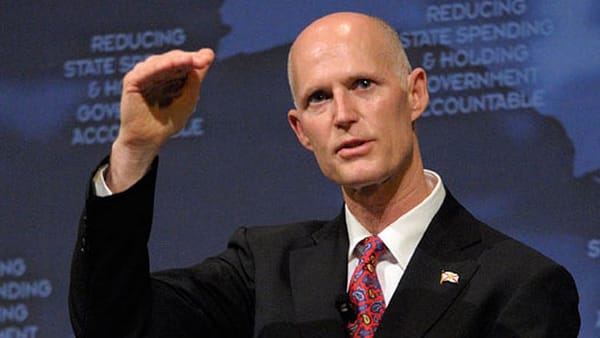
“It was a different overall weather pattern this year,” said Carl Erickson, Senior Meteorologist for AccuWeather.com.

El Niño, a climate cycle characterized by warmer waters in the Pacific Ocean that can impact weather patterns, essentially “locked” the cold air north of the lower 48, Erickson said. A faster west to east storm track pushed cold air into Canada and Alaska for the majority of the winter.  According to the National Oceanic and Atmospheric Administration, the December-February average temperature for the contiguous 48 states was 36.8 degrees-4.6 degrees above the 20th century average.  Prior to this year, the warmest winter on record took place in 1999-2000, where average temperatures were 36.5 degrees. NOAA scientists agree that the cause was El Niño.

All six New England states had their warmest winters on record since 1895, when the government started keeping records. Because of the warmer temperatures, snow that did form and accumulate in the Boston area melted fairly quickly. And without that snowpack, cold air that did dip down into the Boston area wasn’t held for very long.

This was especially apparent towards the end of the season. The last measurable snow to fall in Boston this year was on March 21. Although some outlets predicted up to 10 inches of snow for the city early on the forecast, by Sunday night AccuWeather had dropped its range  to 3 to 6 inches. Schools across the city and in some suburbs were closed for the day in anticipation of the storm. The official snowfall for the day ended up at 3.6 inches.

“That’s pretty typical of a late season storm,” Erickson explained. He said that with the higher sun position and a lack of colder air, it would have to snow steadily for a long time to get the accumulations on the higher end of the forecast range. Earlier in the season the same storm likely would have led to much bigger snow banks across the city.

Whereas last year saw repeated recordings of record lows and below-average temperatures for most of the season and a snow accumulation of 108.6 inches, this year temperatures averaged 4.9 degrees higher than usual, and Boston saw only 25.9 inches of snow.

This year more closely mirrored the pattern of the 2011 to 2012 winter, Erickson said, when temperatures were also above average and only 34 inches of snow were measured throughout the season.

The warmer weather pattern should continue for the upcoming months as well, Erickson said. Although El Niño is weakening, Boston should see above average temperatures and near average precipitation amounts from mid-April through June. And residents can look forward to enjoying a warmer participating in some of the city’s upcoming outdoor events.